
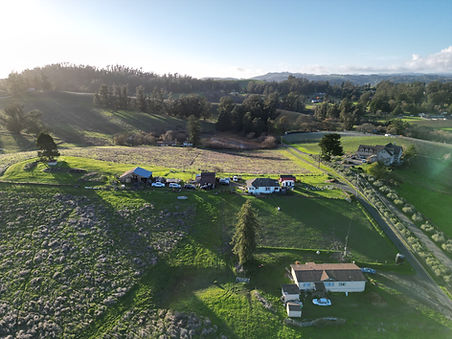
Aerial Photography Packages
Each photo package captures your property from multiple perspectives to showcase its full context and scale, including:
-
Front of the property
-
Side and rear views
-
Overhead “top-down” shot
-
Neighborhood and surrounding area
Project Monitoring
Track progress and document results with precision. Visualize your project throughout phases with repeat aerial capture sessions at consistent locations using waypoint technology. Common options include:
-
Pre-construction and post-construction documentation
-
Progress monitoring with additional capture dates during implementation
-
Long-term observation to assess site changes after completion
Video Services
Bring your project to life with stunning aerial video. A standard package includes a professionally edited short video—perfect for social media promotion—as well as raw video footage for your own use or future editing.
360° Aerial Images
Experience your property from every angle. Interactive 360° images let viewers click, drag, and explore the scene in full panoramic detail—ideal for virtual tours, marketing, or documentation.

Describe your job here for a free quote.